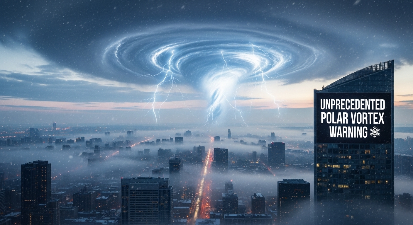
A Polar Vortex Is Coming — And Forecasters Say They’ve Never Seen One Quite Like This
Something unusual is happening in the sky above the sky.
Far above the clouds, higher than any plane flies, a massive whirl of Arctic air called the polar vortex is behaving in a way that has weather scientists leaning closer to their screens. It’s stretching, tilting, and moving in a pattern that doesn’t match decades of winter climate data.
On the ground, you might just notice the wind changing. But in weather offices around the world, phones are lighting up with messages between forecasters saying the same thing: this is not normal.
What Is the Polar Vortex?
Most people have heard the term thrown around during cold winters, but the real polar vortex is nothing like a regular snowstorm.
It’s a vast whirl of extremely cold air that sits high over the Arctic, held in place by powerful spinning winds. Most winters, it stays up there, stable and distant, minding its own business. The cold stays near the poles. The rest of us get on with our lives.
The problem starts when the vortex gets disrupted. When it wobbles, splits, or tilts off course, chunks of that Arctic cold can break away and plunge southward — hitting regions that are simply not built for that kind of temperature.
That is exactly what forecasters are watching happen right now.
Why This One Is Different
Vortex disturbances happen every few years. This one is drawing attention because of how fast it’s moving and the unusual shape it’s taking.
The winds near the vortex core are surging beyond what’s typical, then dropping rapidly — a surge and collapse pattern that destabilises the whole system. The vortex itself is drifting away from the North Pole toward lower latitudes, which increases the chance of extreme cold reaching heavily populated areas. And crucially, the timing is compressed, meaning there is less lead time for communities and infrastructure to prepare.
When forecasters run their computer models — the many slightly different simulations that together give a picture of what’s coming — the results are unusually spread out. Some runs show a brutal cold plunge into central regions. Others shift the core chill eastward. What almost all of them agree on is that something significant is coming. The debate is about where and how fast, not whether.
What It Actually Feels Like
A polar vortex anomaly stops being an abstract concept the moment it arrives outside your door.
The first signs can be deceptively mild — clouds thickening, the light going flat, a wind with a faintly metallic smell. Then the front hits. Temperatures drop sharply in a single afternoon. Snow turns the air into a wall of white. The cold has a different quality to it — not the ordinary winter sting, but something that seems to wrap around your bones. Breathing in feels like pulling cold glass into your lungs. Snow underfoot doesn’t crunch; it squeaks and shatters, because the temperature is too low for the crystals to pack together.
Pipes inside walls begin to expand. Roads ice over fast. Power grids strain under the demand of every heater working overtime. In rural areas, livestock need to be sheltered, crops face damage, and rivers ice over from the banks inward.
What the Data Shows
The numbers forecasters are watching are well outside the typical winter range. Wind speeds near the vortex core are projected to exceed 70 metres per second before collapsing rapidly — compared to a normal range of 40 to 60. The vortex position is significantly displaced from the North Pole. Surface temperature anomalies in affected areas could reach 10 degrees Celsius or more below average in concentrated bursts.
That last figure is the one that concerns emergency planners most. Ten degrees below normal is not just uncomfortable. For infrastructure built around milder winters, for farmers whose crops are already pushing early growth after warm spells, and for people without adequate heating, it can be genuinely dangerous.
What This Means for the Bigger Picture
No single weather event is simple proof of anything, and forecasters are careful to say so. But this polar vortex anomaly fits into a pattern that climate scientists have been tracking for years.
As the Arctic warms faster than the rest of the planet, it appears to affect the behaviour of the jet stream and the polar vortex in ways that are still being studied. The result can be a more unstable winter — warm spells followed by sudden extreme cold, the pendulum swinging more violently than older climate records would have predicted.
In other words, winter is getting stranger. Not necessarily colder overall, but more unpredictable. More capable of surprising the models that experienced forecasters have trusted for decades.
What You Can Do
Whether this event hits your region directly or passes by, the practical advice is the same.
Check your home insulation and make sure exposed pipes are protected. Have extra food, water, and any essential medications on hand. Know where your nearest warming centre is if your power goes out. Keep your vehicle stocked with a blanket, torch, and basic supplies. And stay across local forecasts rather than national headlines, because the difference between a direct hit and a near miss can be measured in a few hundred kilometres.
The atmosphere is still improvising. Forecasts will sharpen over the coming days. But the signal is clear enough that preparation now is far better than scrambling later.
Frequently Asked Questions
What is the polar vortex, in simple terms? A large, stable mass of very cold air that normally sits high above the Arctic. When it gets disrupted, chunks of cold air can break off and move southward into regions that don’t usually experience such extreme cold.
Why is this event being called an anomaly? Because its speed, shape, and projected path are pushing outside the ranges that decades of winter climate records consider typical. The models are showing outcomes at the far edges of what forecasters have historically seen.
Does this disprove climate change? No. Extreme cold events don’t contradict global warming. Some climate research actually suggests that Arctic warming can make polar vortex disruptions more likely, leading to unexpected cold snaps in lower latitudes.
Who is most at risk? Elderly people, those without reliable heating, outdoor workers, and communities whose infrastructure — roads, pipes, power grids — was built for milder winters. Rural areas dependent on agriculture are also vulnerable.
How should I prepare? Insulate your home, protect pipes, stock up on essentials, prepare your vehicle, and follow local weather authorities closely. The biggest risk in events like this is being caught unprepared when conditions change fast.